Team Brocode
Cascade AI
"Engineering the impossible"
Submitted
May 22, 2026, 6:42 AM
Last Updated
May 22, 2026, 6:42 AM
Project Links
Problem Statement
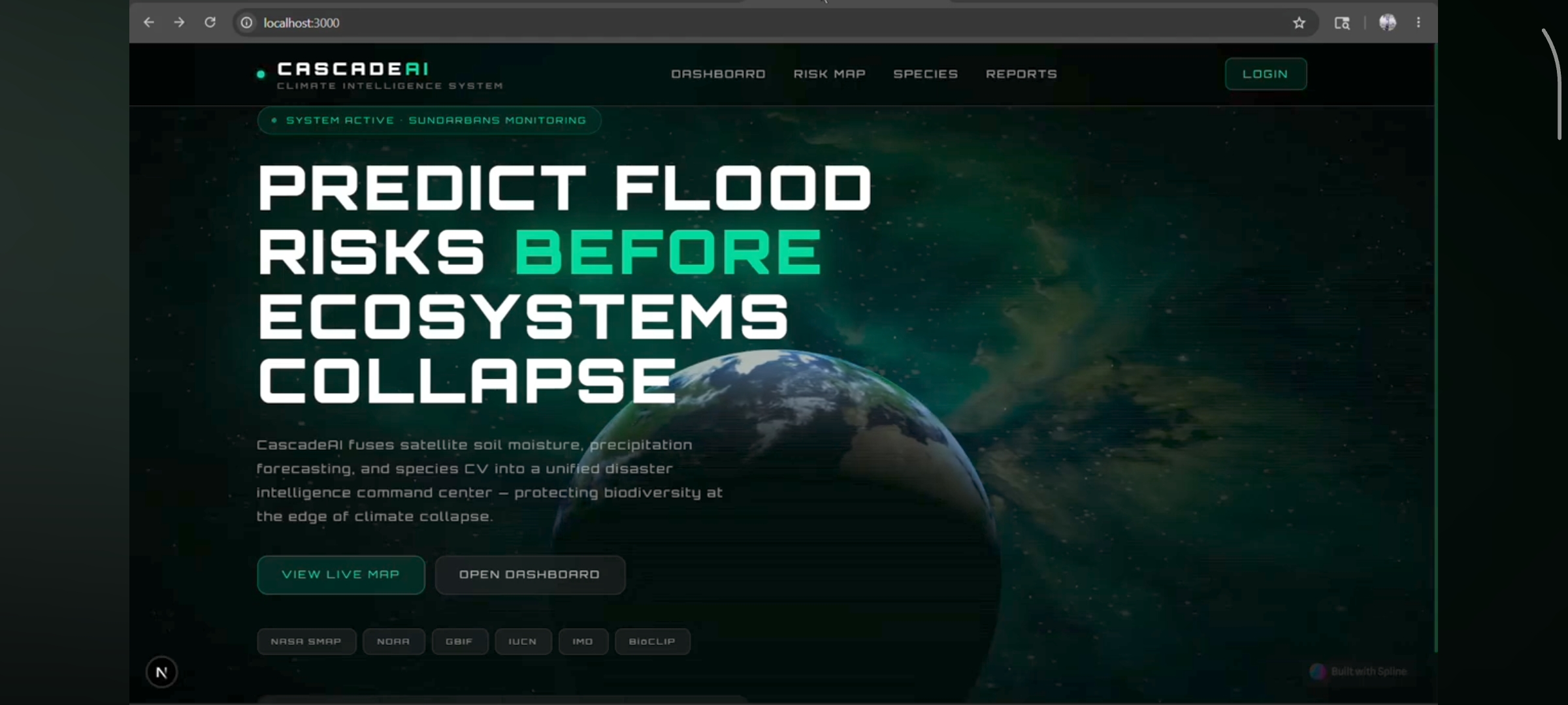
The Sundarbans delta — home to Royal Bengal Tigers, Irrawaddy Dolphins, and hundreds of endangered species — faces increasingly severe cyclones and flash floods driven by climate change. Every year these floods destroy critical habitats and threaten wildlife that cannot evacuate themselves. The core problem is that two critical systems never talk to each other. Disaster management teams predict floods using weather and satellite data. Wildlife conservationists monitor endangered species separately. By the time either team realises a critically endangered species corridor is underwater, it is already too late to respond. There is no system that connects climate intelligence with biodiversity data in real time, no automated early warning for wildlife, and no transparent way for conservation funding to reach the field quickly.
Solution & AI Usage
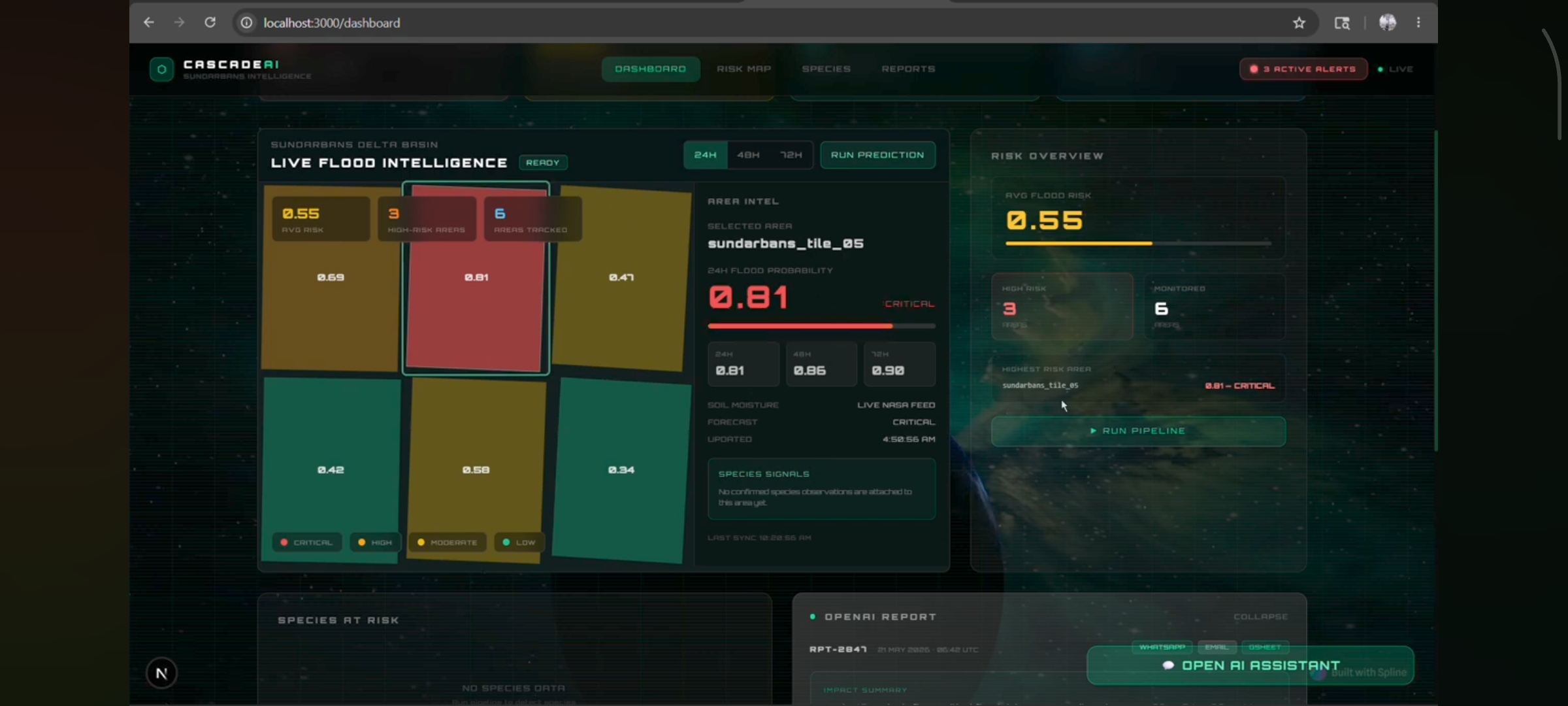
CascadeAI is a climate-biodiversity cascade predictor that bridges this gap. It continuously monitors the Sundarbans using NASA satellite soil moisture data and weather forecasts. A trained machine learning model predicts flood risk per grid tile across the delta up to 72 hours in advance. When high-risk tiles are identified, BioCLIP — a computer vision model trained on 10 million biological images — verifies which endangered species are currently present in those zones using real citizen science observations from GBIF. A RAG pipeline retrieves authoritative context from IUCN Red List documents and conservation research. Claude then synthesises everything into a plain-English conservation action plan with specific ranger instructions. The entire pipeline runs automatically via n8n. When flood risk crosses the threshold, rangers receive an SMS alert within seconds — no app download required, no manual steps. Every verified conservation response event mints a Conservation Verified Token
Full Description
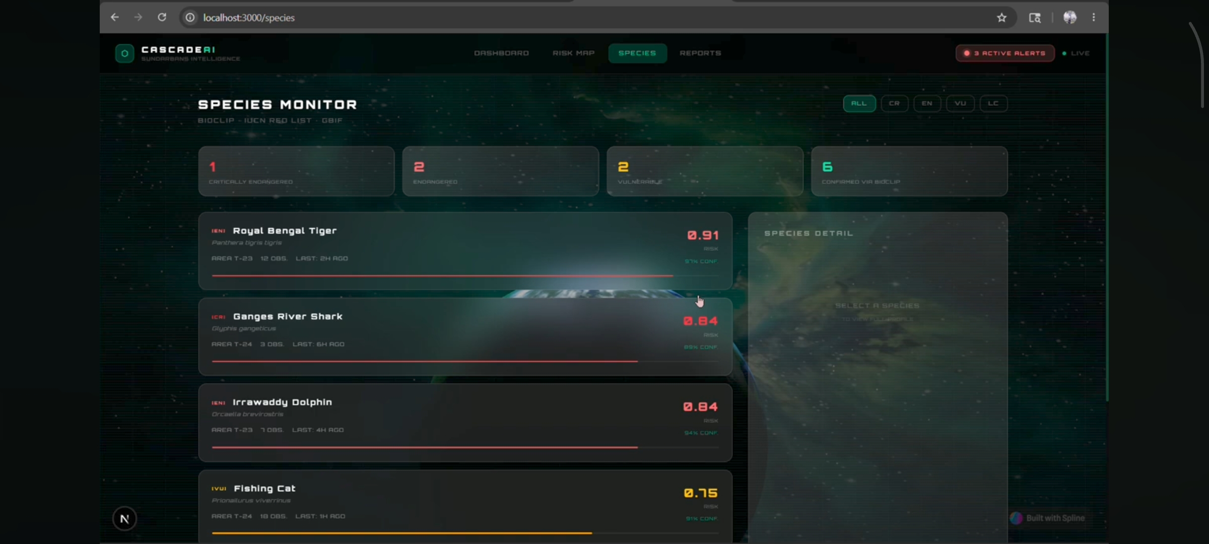
CascadeAI is a climate-biodiversity cascade predictor built for the Sundarbans delta. It bridges two worlds that have never been connected in real time — disaster management and wildlife conservation — by fusing satellite climate data, computer vision, retrieval-augmented generation, and blockchain into a single automated pipeline that gives rangers actionable intelligence 72 hours before a flood hits. For each high-risk tile, CascadeAI queries GBIF for recent wildlife observation photos from that geographic bounding box. BioCLIP — a computer vision model trained on 10 million biological images with full taxonomic labels — verifies species identity from each photo and rejects uncertain identifications below a 0.65 confidence threshold. Each verified species is then enriched with IUCN Red List threat status, habitat data, and known flood vulnerability from a local conservation database. All of this feeds into a RAG pipeline built on ChromaDB. IUCN species assessments, WWF Sundarbans ecosystem reports, and conservation research papers are embedded and indexed. The retriever pulls the most relevant context for the specific species and habitats at risk. Claude receives the flood risk scores, verified species list, IUCN statuses, and retrieved conservation context in a single structured prompt and generates a plain-English conservation action plan with specific, prioritised ranger instructions. n8n orchestrates the entire output layer. When a report is generated, it simultaneously sends an SMS to ranger teams via Twilio, logs the event to a Google Sheets dashboard, and calls back into the FastAPI backend to mint a Conservation Verified Token on the Stellar blockchain — a permanent on-chain record of the conservation response event containing the report ID, species count, risk score, and timestamp. The system has five distinct layers that communicate cleanly through well-defined interfaces. The data layer consists of three async service files. nasa_smap.py authenticates with NASA EarthData and downloads HDF5 format soil moisture rasters, extracting per-tile values and normalising them to a 0-1 scale. A NASA POWER API fallback activates automatically if SMAP data is unavailable. open_meteo.py queries the Open-Meteo forecast API — no authentication required — and aggregates hourly precipitation into 24, 48, and 72 hour windows per tile. gbif.py queries the Global Biodiversity Information Facility API with tile bounding boxes to retrieve georeferenced species observations filtered to the last six months with confirmed photo evidence. The ML layer splits into flood prediction and species verification. The flood model is a scikit-learn Random Forest pipeline with a StandardScaler preprocessing step, trained on physics-based synthetic data encoding real flood dynamics — soil saturation plus incoming precipitation plus low elevation equals high risk. The species layer uses BioCLIP loaded once at startup and cached in memory, with a gbif_processor.py dedupli
Tech Stack
Screenshots
3 attached